|
COMPLETING THE I-295 PROVIDENCE BELTWAY: In 1955, highway officials in Rhode Island anticipated the need for an easterly bypass of Providence. The East Shore Expressway, as it was then called, was to serve as an expressway replacement for RI 114, a two-lane road through East Providence, Barrington, Warren and Bristol. An early section of this expressway, a connection between I-195 and Wampanoag Trail, opened to traffic in 1959.
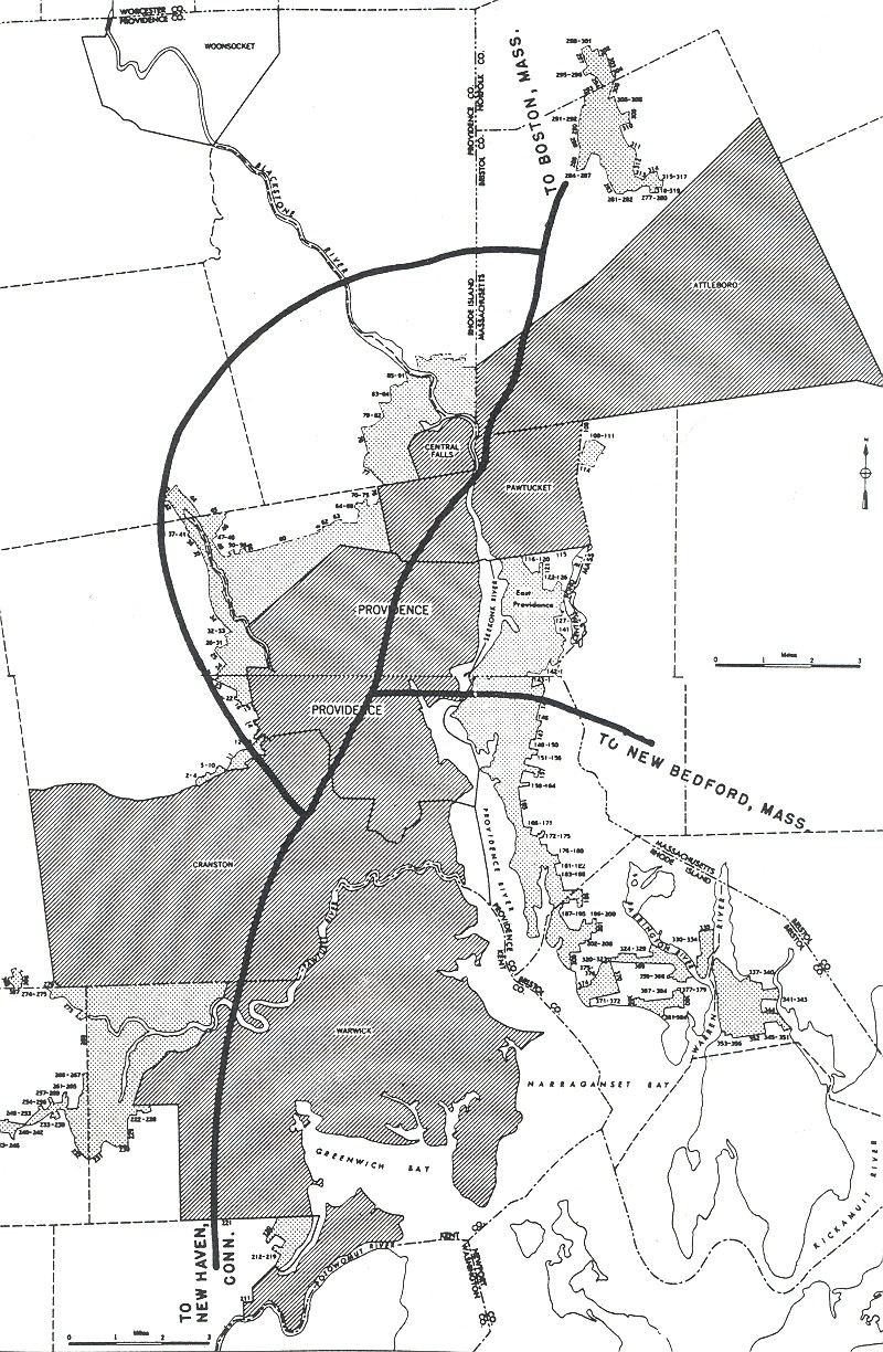
In 1966, attention shifted to providing a full beltway around the Providence metropolitan area, requiring the cooperation of Rhode Island and Massachusetts highway officials. That year, a study released by the Rhode Island Department of Public Works (RIDPW) recommended the following facilities:
There was to be a new north-south expressway along the RI 114-RI 136 corridor through Warren and Bristol, Rhode Island, extending north along MA 136 to I-195 (EXIT 2) in Swansea, Massachusetts. At the southern end, there was to be a new parallel Mount Hope Bridge. At the northern end, the expressway was to be extended to the I-95 / I-295 interchange in Attleboro.
There was to be a new east-west expressway through Warren and Barrington, leading to a new bridge over Narragansett Bay. On the western end of Narragansett Bay, this route was to connect to the RI 37 Expressway in Warwick.
The initial design called for a four-lane expressway (two lanes in each direction), with allowances for its eventual expansion to six lanes. It was expected to eventually accommodate 55,000 vehicles per day (AADT).
In 1968, when the Federal Highway Administration (FHWA) authorized 1,500 new Interstate miles nationwide, it added a new Interstate designation, I-895. By connecting to I-295 in Massachusetts, the new I-895 was to complete the beltway around Providence to the east and south. The original route of I-895 was to extend approximately 15.8 miles (costing $47 million) in Massachusetts, and approximately 12.1 miles (costing $115 million) in Rhode Island.
In the commonwealth of Massachusetts, I-895 was to extend through the communities of Swansea, Rehoboth and Attleboro. Construction of I-895 was recommended in the Southeastern Massachusetts Comprehensive Transportation and Arterial Study, which was conducted by the Massachusetts Department of Public Works (MassDPW) and other agencies, as part of a "balanced, multi-modal transportation system." The expressway was scheduled for completion by 1975.
Due to intense community opposition, the MassDPW canceled the section of I-895 from I-195 north to I-95 in 1971. That year, the Rhode Island Department of Transportation (RIDOT) also shelved plans for an Upper Narragansett Bay Crossing.
The I-95 / I-295 cloverleaf in Attleboro still has completed ramps and short stubs that were to lead to I-895. Along the route of the canceled I-895, the Massachusetts Highway Department (MHD) plans to construct an "Attleboro Connector," a divided highway spur that will connect the town to the interchange.
A SUBSTITUTE CORRIDOR OVER NARRAGANSETT BAY: With obstacles thrown onto the original route of I-895, the RIDOT and the MassDPW submitted plans for a substitute alignment along the RI 138 corridor beginning at I-95 (EXIT 3) in Wyoming, crossing Narragansett Bay over the Newport-Pell Bridge, and continuing north to RI 24 in Portsmouth. For the final section into Massachusetts, I-895 would have continued north as follows:
|
|


